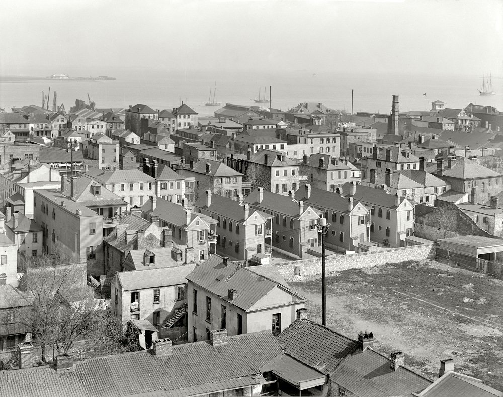
From an elevated perch, Charleston’s waterfront district unfolds in a dense patchwork of rooftops, chimneys, and narrow back lots, with the harbor stretching pale and calm beyond. The view feels intentionally unpolished—more “back door” than postcard—where service alleys, outbuildings, and the close spacing of homes reveal how the city actually functioned day to day. In the distance, masts and low industrial structures hint at the working edge of town, where commerce met the tide.
Rooflines stack toward the water in uneven rows, each structure slightly different in height and form, creating a textured skyline of gables and sheds. Utility poles and scattered smoke stacks cut clean vertical lines through the scene, reminders of modern infrastructure threading through an older urban fabric. Even without street-level activity, the photograph suggests movement: goods arriving, boats coming and going, and households pressed close together near the economic lifeline of the harbor.
Seen as a 1910 snapshot of Charleston, this image is a valuable reference for anyone interested in historic architecture, urban density, or the everyday geography of port cities in the early twentieth century. It also invites a slower reading—where the empty yard spaces, layered roofs, and waterline structures speak to class, labor, and the practical organization of a waterfront neighborhood. For readers searching “Charleston waterfront 1910” or exploring Places & People through archival photography, this back-of-house perspective offers an unusually candid sense of place.