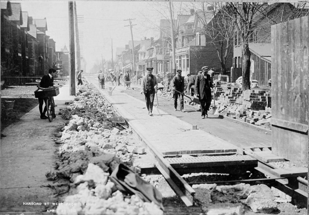
Harbord Street in 1911 looks like a corridor under construction, where daily travel had to negotiate piles of rubble, stacked bricks, and open trenches. A long timber walkway bridges the rough ground, guiding pedestrians through the work zone while row houses and bare-limbed trees frame the scene. The title “Blocked up steel” feels literal here: metal rails and street infrastructure peek through the disruption, hinting at the heavy engineering reshaping a growing Toronto neighbourhood.
On the left edge, a cyclist pauses beside his bicycle, waiting out the bottleneck created by the roadworks rather than attempting a risky squeeze past the debris. That small moment captures an early chapter of cycling in Toronto—when riders shared narrow streets with construction crews, carts, and foot traffic, long before dedicated bike lanes or smooth pavement were taken for granted. The mix of movement and obstruction makes the street feel lived-in, not staged: people walk, work, and watch as the city’s surface is rebuilt beneath them.
Details like telegraph poles, modest storefront-like facades, and the careful stacking of paving materials turn this into more than a construction photo; it’s a snapshot of urban change in progress. For readers searching historical photos of Toronto cycling, Harbord St. West, or early 1900s street life, the image offers a textured look at how infrastructure projects shaped everyday routes. It reminds us that the story of transportation isn’t only about vehicles—it’s also about the unfinished streets that everyone had to cross.