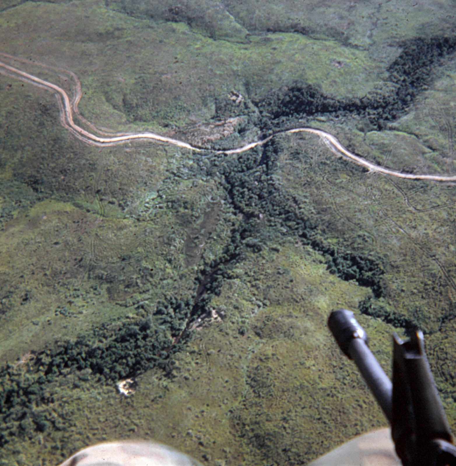
Below the open door of a Huey helicopter, the Quang Tri River cuts a dark, winding line through a broad quilt of green terrain. A pale road snakes across the landscape and meets the river corridor, its curves hinting at low hills and the contours of the valley. In the foreground, part of the aircraft’s hardware intrudes into the frame, a quiet reminder that this view was taken from an airborne machine built for a war zone.
Aerial perspectives like this became inseparable from the Vietnam War, when helicopters turned rivers, roads, and ridgelines into navigational landmarks and tactical reference points. From above, the river reads less as a boundary on a map and more as a living route—water threading through vegetation, drawing the eye toward crossings and clearings that would have mattered to anyone moving on the ground. The mix of open patches and denser growth suggests a countryside shaped by both nature and constant human passage.
Seen today, the scene balances beauty with tension: tranquil greens, a sinuous watercourse, and the unmistakable presence of a military aircraft in the same breath. For readers searching Vietnam War history, Huey helicopter imagery, or Quang Tri Province landscapes, this photograph offers a grounded sense of scale and distance—how the land looked when it was surveyed from the air. It invites reflection on how ordinary geography became part of an extraordinary conflict, and how rivers like the Quang Tri continued flowing through it all.