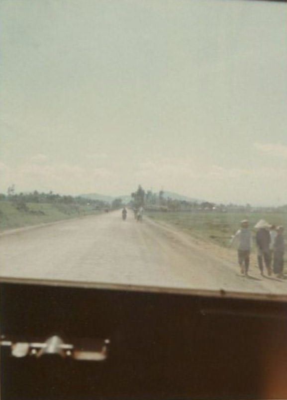
A long, pale ribbon of pavement stretches straight ahead on Highway 1, pulling the eye toward distant low hills and a hazy horizon beyond Bồng Sơn in South Vietnam. The viewpoint feels like it comes from inside a vehicle, with the dark edge of the dashboard framing the road and lending the scene a traveler’s immediacy. Sparse traffic—small figures on motorbikes—moves through an open landscape where the sky dominates.
Along the right shoulder, a handful of pedestrians walk in the same direction, some wearing broad conical hats that instantly evoke rural life in Vietnam. Flat fields spread outward from the roadway, punctuated by a few trees and far-off structures that sit low against the land. Even without explosions or visible combat, the emptiness and distance hint at the uneasy normalcy of wartime travel, where ordinary movement continued under extraordinary pressure.
Highway 1 was more than a route on a map during the Vietnam War; it was a vital artery connecting towns, markets, and military operations along the coast. The scene in Bồng Sơn invites viewers to consider what it meant to share this road—civilians on foot, riders on scooters, and vehicles passing through a contested country. For readers searching Vietnam War history photos, South Vietnam road scenes, or images of Highway 1, this quiet moment offers a grounded look at the everyday landscape that shaped the conflict’s lived experience.