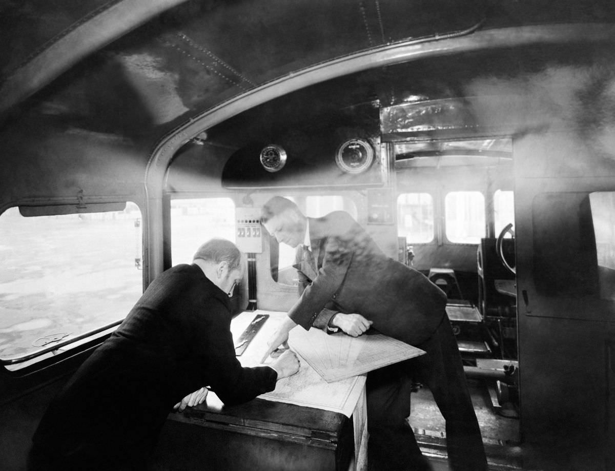
Inside the navigation cabin, two uniformed men lean over a broad chart spread across a sturdy table, their attention fixed on the fine lines and markings that translate sea and sky into a workable route. Light streams through the windows and catches the curve of the cabin structure, while round gauges and dials overhead hint at the constant reading of conditions and position. The chief navigator’s posture—part instruction, part calculation—evokes the quiet authority required when decisions must be made with precision.
The scene speaks to navigation as both craft and technology in the early 20th century, when paper maps, instruments, and practiced judgment formed an interlocking system. Even without dramatic action, the photo conveys motion: the vessel implied beyond the glass, the shifting weather suggested by the hazy atmosphere, and the ever-present need to update a course. For visitors searching for “1930s navigation cabin,” “chief navigator map,” or “maritime navigation history,” these details bring an era of hands-on seamanship into sharp focus.
What makes this historical image linger is its blend of human concentration and engineered environment, a reminder that travel depended on careful teamwork long before digital displays and satellite positioning. The cabin reads like a compact laboratory—windows for observation, instruments for measurement, and the chart table as the place where information becomes direction. As a WordPress feature tied to inventions and practical innovation, it offers a grounded look at how knowledge, tools, and experience met on the page of a map around c. 1930.